Loading...
Changeset: 128631
4th Arrondissement Towers
Closed by garageman
Tags
| changesets_count | 27 |
|---|---|
| created_by | iD 2.29.0-dev |
| host | https://www.openhistoricalmap.org/edit |
| imagery_used | OpenStreetMap (Standard);Esri World Imagery |
| locale | en-US |
| resolved:crossing_ways:highway-waterway | 1 |
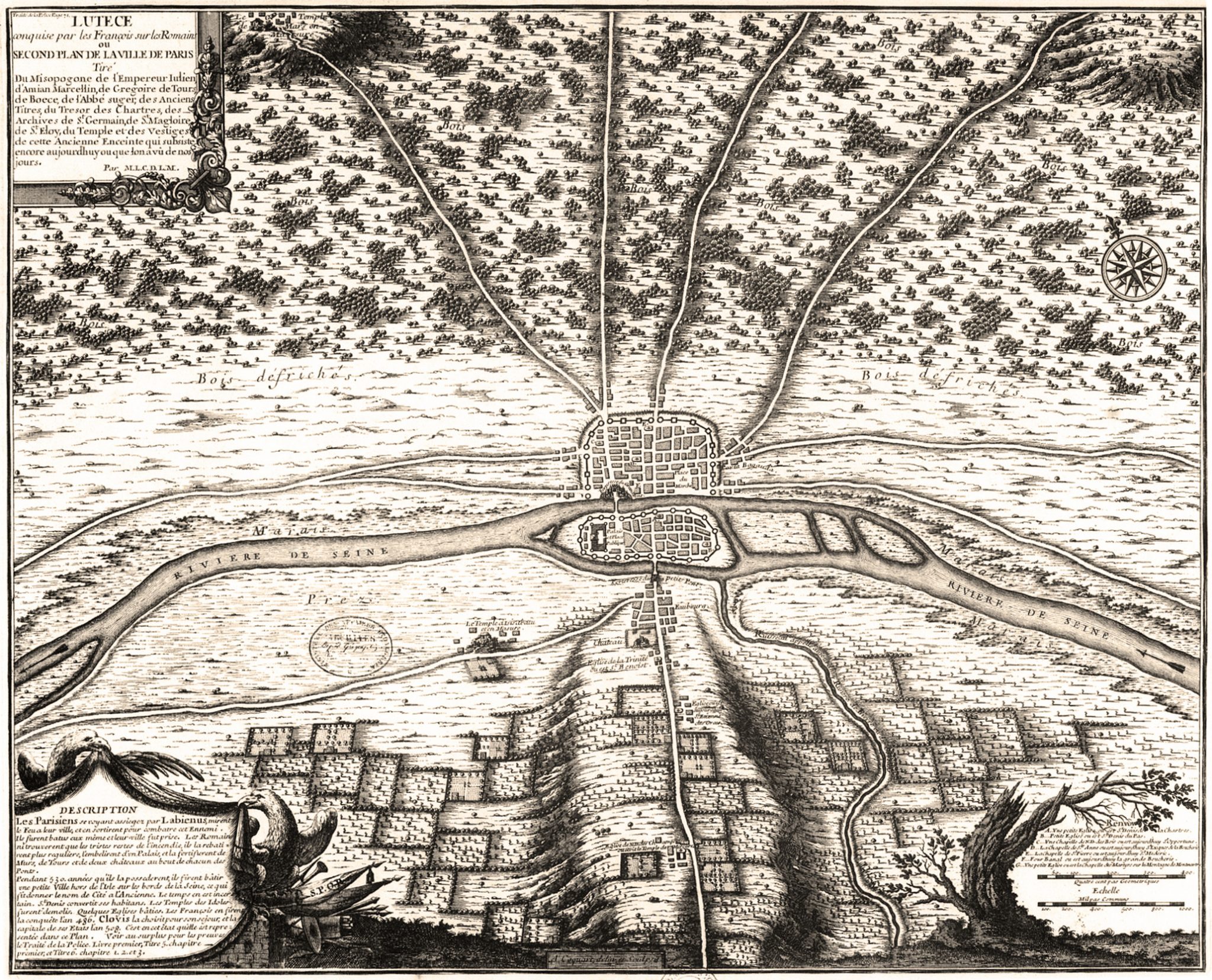
| source | http://www.oldmapsofparis.com/wp-content/uploads/2017/11/paris508.jpg |
| warnings:crossing_ways:highway-waterway | 1 |
| warnings:missing_start_date | 1 |
Discussion
Ways (1-20 of 46)
- Palais de la Cité [1180 – 1285] (200229792), v4
- N 1 [508 – ] (200232237), v3
- N 1 [1902 – ] (200232886), v1
- [508 – 1180] (200232887), v1
- [508 – 1180] (200232888), v1
- [508 – 1180] (200232889), v1
- [508 – 1180] (200232890), v1
- [508 – 1180] (200232891), v1
- [508 – 1180] (200232892), v1
- [508 – 1180] (200232893), v1
- [508 – 1180] (200232894), v1
- [508 – 1180] (200232895), v1
- [508 – 1180] (200232896), v1
- [508 – 1180] (200232897), v1
- [508 – 1180] (200232898), v1
- [508 – 1180] (200232899), v1
- [508 – 1180] (200232900), v1
- [508 – 1180] (200232901), v1
- [508 – 1180] (200232902), v1
- [508 – 1180] (200232903), v1
Nodes (321-340 of 482)
Welcome to OpenHistoricalMap!
OpenHistoricalMap is an interactive map of the world throughout history, created by people like you and dedicated to the public domain.
OpenHistoricalMap is a charter project of OpenStreetMap U.S., a 501(c)(3) nonprofit organization affiliated with the OpenStreetMap Foundation. Technical development is supported by GreenInfo Network and Development Seed.
| https://www.openhistoricalmap.org/copyright | https://www.openhistoricalmap.org |
| OpenHistoricalMap is dedicated to the public domain except where otherwise noted. | |