Loading...
Changeset: 82174
adding streets
Closed by Gu55
Tags
| changesets_count | 61 |
|---|---|
| created_by | iD 2.24.1 |
| host | https://www.openhistoricalmap.org/edit |
| ideditor:walkthrough_progress | welcome;navigation;startEditing |
| ideditor:walkthrough_started | yes |
| imagery_used | Bing Maps Aerial;OpenStreetMap (Standard) |
| locale | en-US |
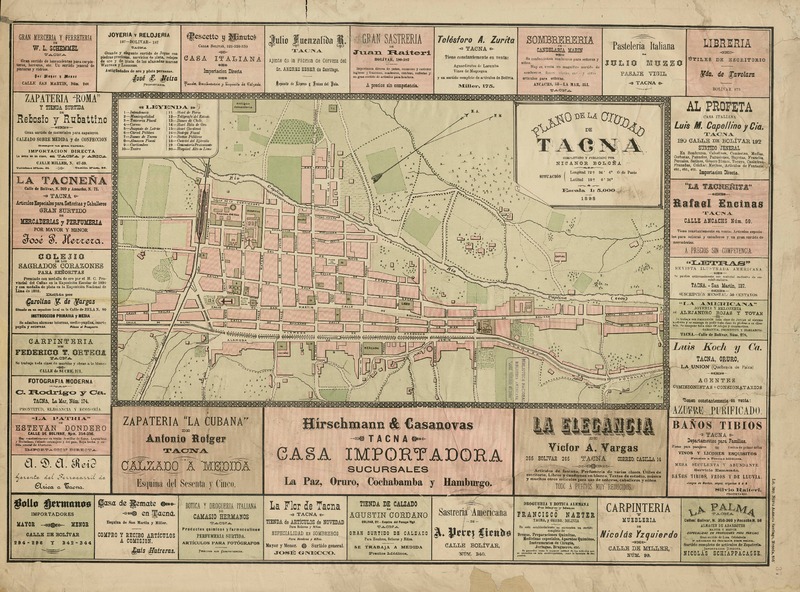
| source | http://www.bibliotecanacionaldigital.gob.cl/bnd/632/articles-333450_thumbnail.jpg |
| warnings:disconnected_way:highway | 1 |
Discussion
Ways (41-60 of 86)
- [1861 – ] (199573507), v1
- [1861 – ] (199573508), v1
- [1861 – ] (199573509), v1
- [1861 – ] (199573510), v1
- [1861 – ] (199573511), v1
- 199573512, v1
- 199573513, v1
- [1861 – ] (199573514), v1
- [1861 – ] (199573515), v1
- [1861 – ] (199573516), v1
- [1861 – ] (199573517), v1
- [1861 – ] (199573518), v1
- [1861 – 1940] (199573519), v1
- [1861 – 1940] (199573520), v1
- [1861 – 1940] (199573521), v1
- [1861 – 1940] (199573522), v1
- [1861 – ] (199573523), v1
- [1861 – ] (199573524), v1
- [1861 – ] (199573525), v1
- [1861 – ] (199573526), v1
Nodes (1-20 of 416)
Welcome to OpenHistoricalMap!
OpenHistoricalMap is an interactive map of the world throughout history, created by people like you and dedicated to the public domain.
OpenHistoricalMap is a charter project of OpenStreetMap U.S., a 501(c)(3) nonprofit organization affiliated with the OpenStreetMap Foundation. Technical development is supported by GreenInfo Network and Development Seed.
| https://www.openhistoricalmap.org/copyright | https://www.openhistoricalmap.org |
| OpenHistoricalMap is dedicated to the public domain except where otherwise noted. | |