Loading...
Relation: Schloßteich [1256 – 1949] (2746255)
Version #2
детализация
- Edited by Зелёный Кошак
- Changeset #85839
Tags
| end_date | 1949 |
|---|---|
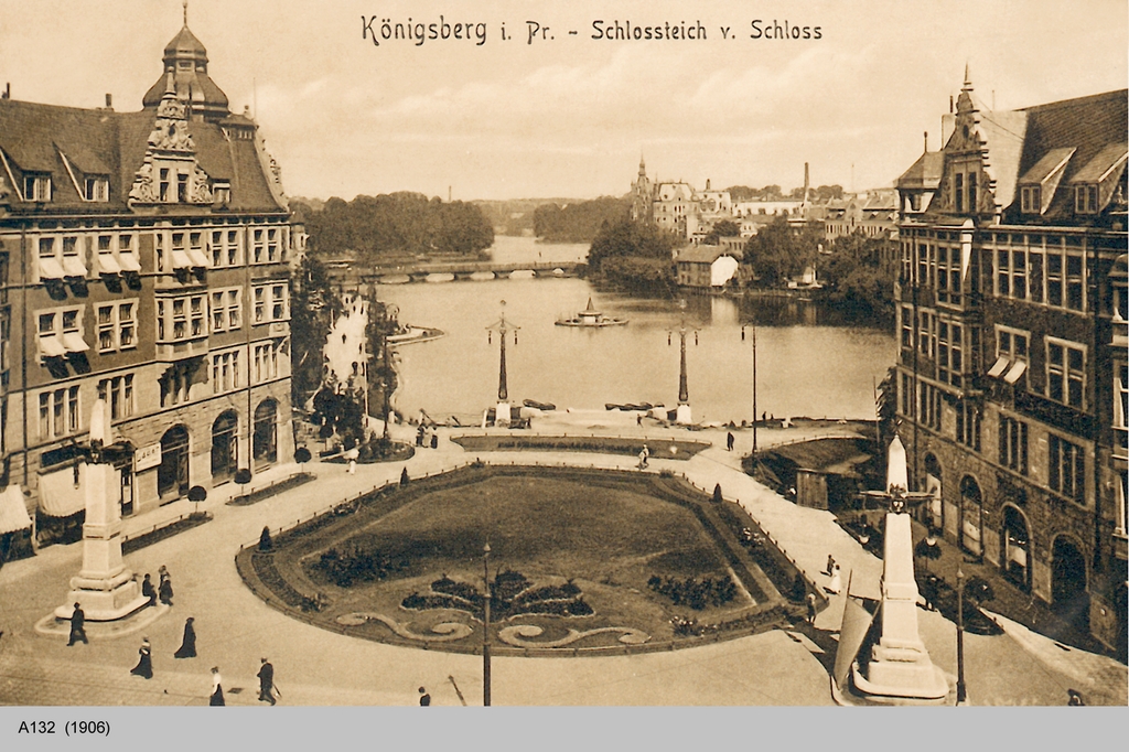
| image | https://upload.wikimedia.org/wikipedia/commons/2/22/SchlosstVomSchloss.jpg |
| name | Schloßteich |
| name:de | Schloßteich |
| name:nl | Slotvijver |
| name:ru | Шлосстайх |
| natural | water |
| note | 1256 - временно, реально такой береговая линия стала в 1930х. первоначальное назание - Mühlenteich(по крайнее мере до не позднее 1525) |
| start_date | 1256 |
| type | multipolygon |
| water | pond |
| wikidata | Q324415 |
Members
8 members
- Way [ – 1985] (199595748) as outer
- Way [ – 1985] (199616733) as outer
- Way [ – 1985] (199616735) as outer
- Way [ – 1985] (199616736) as outer
- Way [ – 1985] (199616738) as outer
- Way [ – 1985] (199616740) as outer
- Way [ – 1985] (199616739) as outer
- Way [ – 1985] (199616742) as outer
Welcome to OpenHistoricalMap!
OpenHistoricalMap is an interactive map of the world throughout history, created by people like you and dedicated to the public domain.
OpenHistoricalMap is a charter project of OpenStreetMap U.S., a 501(c)(3) nonprofit organization affiliated with the OpenStreetMap Foundation. Technical development is supported by GreenInfo Network and Development Seed.
| https://www.openhistoricalmap.org/copyright | https://www.openhistoricalmap.org |
| OpenHistoricalMap is dedicated to the public domain except where otherwise noted. | |