Loading...
Relation: Amphitheatrum Statilii Tauri [29 BCE – 64 CE] (2751511)
Version #3
Ancient Rome
Tags
| amenity | theatre |
|---|---|
| building | yes |
| end_date | 0064 |
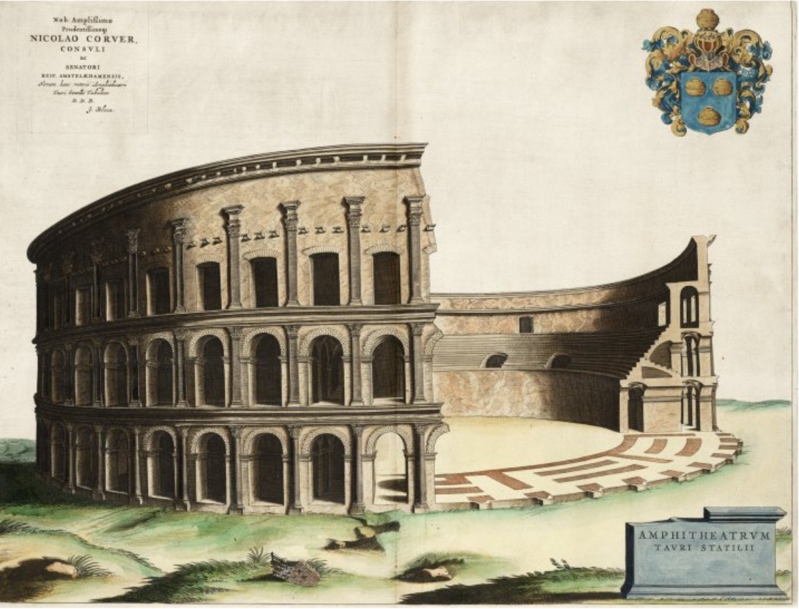
| image:1 | https://upload.wikimedia.org/wikipedia/commons/d/da/Amphitaterum_Tauri_1663.jpg |
| name | Amphitheatrum Statilii Tauri |
| name:bg | Амфитеатър на Статилий Тавър |
| name:de | Amphitheater des Statilius Taurus |
| name:el | Αμφιθέατρο του Στατίλιου Ταύρου |
| name:en | Amphitheater of Statilius Taurus |
| name:es | Anfiteatro de Estatilio Tauro |
| name:eu | Estatilio Tauroren anfiteatroa |
| name:fr | Amphithéâtre de Statilius Taurus |
| name:it | Anfiteatro di Statilio Tauro |
| name:nl | Amfitheater van Statilius Taurus |
| name:pl | Amfiteatr Statyliusza Taurusa |
| name:pt | Anfiteatro de Estacílio Tauro |
| name:sv | Statilius Taurus amfiteater |
| note | Estimated location |
| start_date | -0028 |
| theatre:type | amphi |
| type | multipolygon |
| wikidata | Q2623831 |
| wikipedia | en:Amphitheater of Statilius Taurus |
Members
2 members
- Way [29 BCE – 64 CE] (199852428) as inner
- Way 199852429 as outer
Welcome to OpenHistoricalMap!
OpenHistoricalMap is an interactive map of the world throughout history, created by people like you and dedicated to the public domain.
OpenHistoricalMap is a charter project of OpenStreetMap U.S., a 501(c)(3) nonprofit organization affiliated with the OpenStreetMap Foundation. Technical development is supported by GreenInfo Network and Development Seed.
| https://www.openhistoricalmap.org/copyright | https://www.openhistoricalmap.org |
| OpenHistoricalMap is dedicated to the public domain except where otherwise noted. | |