Loading...
Way: [1954 – 1998] (198750891)
Version #2
Added and modified places
Tags
| end_date | 1998 |
|---|---|
| highway | primary |
| note | Start date and end arbitrary |
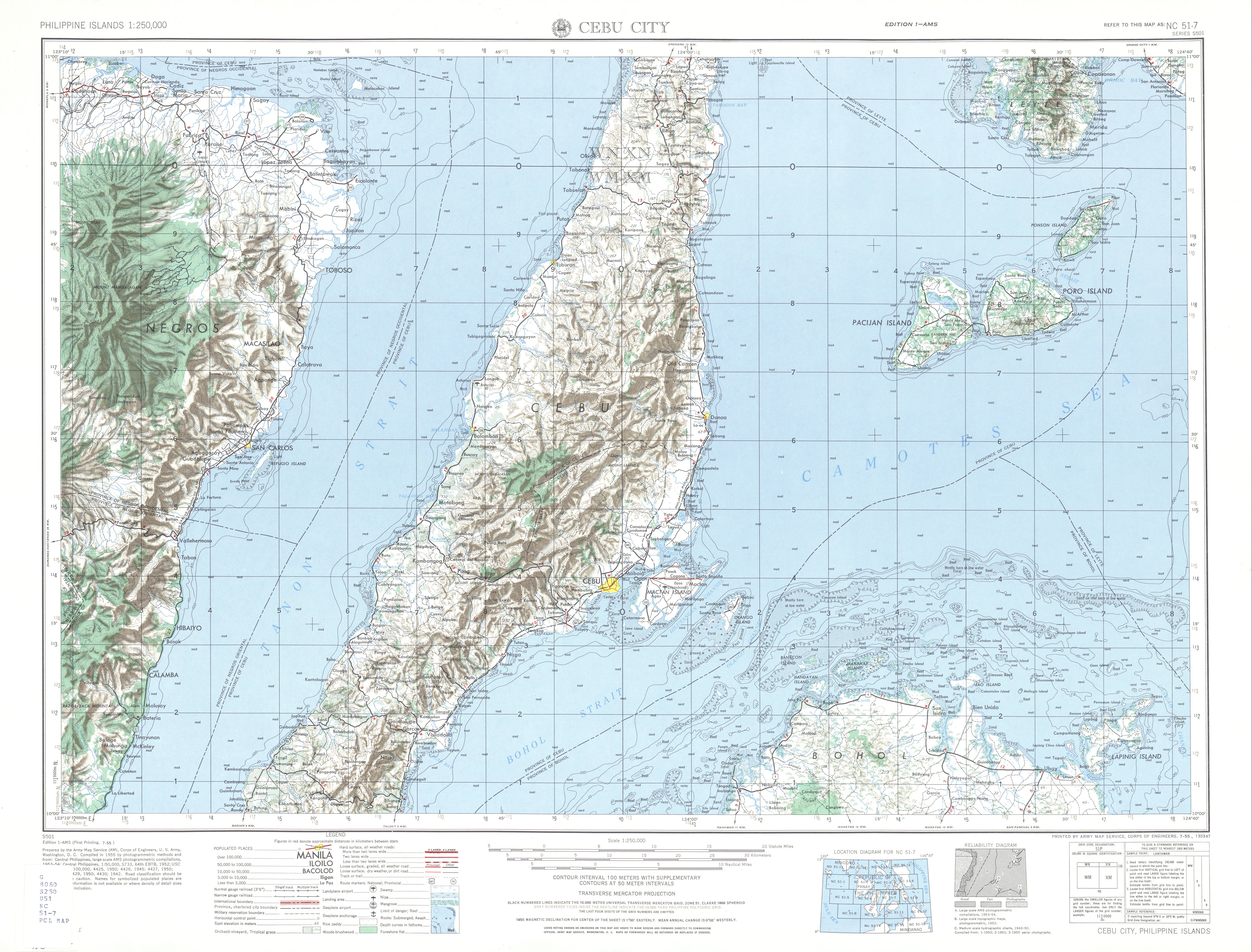
| source | https://maps.lib.utexas.edu/maps/ams/philippines/txu-oclc-6539351-nc51-7-450.jpg |
| start_date | 1954 |
Nodes
26 nodes
- 2094760774 (part of ways [1954 – ] (198746833), [1999 – ] (198750876), and [1999 – ] (198750877))
- 2094760773
- 2094760772
- 2094760771
- 2094760770
- 2094760769
- 2094760768
- 2094817260 (part of ways [1999 – ] (198750873) and [1999 – ] (198750880))
- 2094760767
- 2094760766 (part of way [1999 – ] (198750879))
- 2094760765
- 2094760764
- 2094760763
- 2094760762
- 2094760761
- 2094760760
- 2094760759
- 2094817788 (part of ways [1999 – ] (198750926) and [1984 – ] (198750927))
- 2094817779 (part of ways [1984 – ] (198750924) and [1999 – ] (198750925))
- 2094760758
- 2094760757
- 2094760756
- 2094760755 (part of ways [1973 – ] (198750890) and [1995 – ] (198746830))
- 2094760754 (part of ways [1995 – ] (198750889) and [1973 – ] (198746829))
- 2094817342 (part of ways [1999 – ] (198750876), [1999 – ] (198750877), and [1954 – ] (198750875))
-
2094760753
Welcome to OpenHistoricalMap!
OpenHistoricalMap is an interactive map of the world throughout history, created by people like you and dedicated to the public domain.
OpenHistoricalMap is a charter project of OpenStreetMap U.S., a 501(c)(3) nonprofit organization affiliated with the OpenStreetMap Foundation. Technical development is supported by GreenInfo Network and Development Seed.
| https://www.openhistoricalmap.org/copyright | https://www.openhistoricalmap.org |
| OpenHistoricalMap is dedicated to the public domain except where otherwise noted. | |