Loading...
Way: Milton Road [1910 – ] (199965936)
Version #1
Overhauled the streets of Flagstaff.
- Edited by MatthewAnderson707
- Changeset #111574
Tags
| highway | residential |
|---|---|
| name | Milton Road |
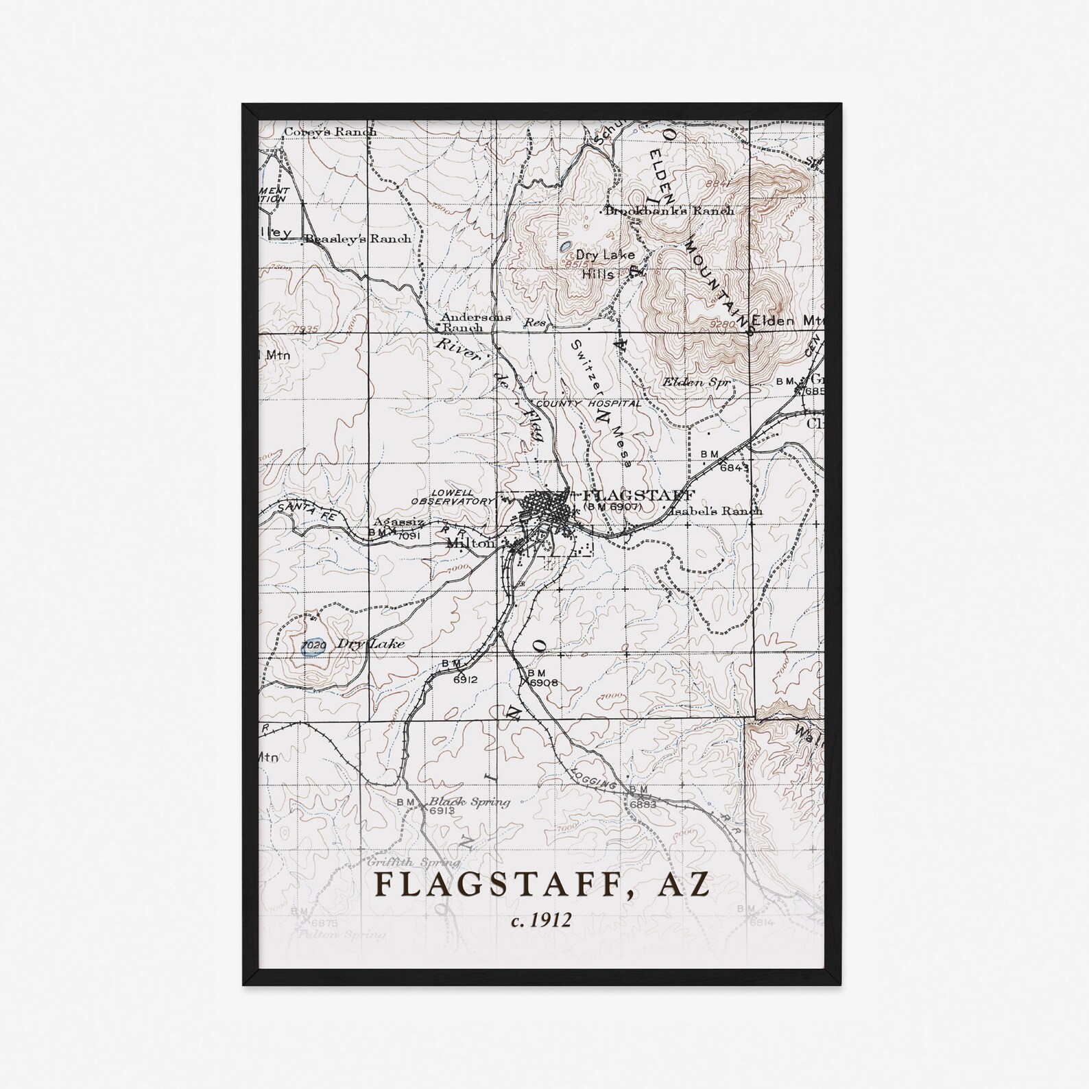
| source | https://i.etsystatic.com/20490028/r/il/a1d526/3029443345/il_1588xN.3029443345_mk8a.jpg |
| start_date | 1910 |
Nodes
11 nodes
- 2111207763 (part of ways Lincoln [1895 – 1919] (199965934), Milton Road (National Old Trails Road) [1920 – 1925] (199966001), Bronco Trail [1920 – ] (199966004), Bronco Trail (National Old Trails Road) [1920 – 1925] (199966005), U.S. Route 89A [1941 – ] (199928869), and Bronco Trail (US 66/US 89) [1926 – 1940] (199977651))
- 2111207764 (part of ways Milton Road (National Old Trails Road) [1920 – 1925] (199966001), U.S. Route 89A [1941 – ] (199928869), and Bronco Trail (US 66/US 89) [1926 – 1940] (199977651))
- 2110635347 (part of ways Milton Road (National Old Trails Road) [1920 – 1925] (199966001), U.S. Route 89A [1941 – ] (199928869), Bronco Trail (US 66/US 89) [1926 – 1940] (199977651), U.S. Route 66/U.S. Route 89 [1926 – ] (199977649), and U.S. Route 66/U.S. Route 89 [1941 – ] (199977650))
- 2110635348 (part of ways Milton Road (National Old Trails Road) [1920 – 1925] (199966001) and U.S. Route 66/U.S. Route 89 [1926 – ] (199977649))
- 2111213511 (part of ways Malpais Lane [1920 – ] (199965997), Milton Road (National Old Trails Road) [1920 – 1925] (199966001), and U.S. Route 66/U.S. Route 89 [1926 – ] (199977649))
- 2111207420 (part of ways Milton Road (National Old Trails Road) [1920 – 1925] (199966001) and U.S. Route 66/U.S. Route 89 [1926 – ] (199977649))
- 2110635349 (part of ways Milton Road (National Old Trails Road) [1920 – 1925] (199966001) and U.S. Route 66/U.S. Route 89 [1926 – ] (199977649))
- 2111207419 (part of ways Milton Road (National Old Trails Road) [1920 – 1925] (199966001) and U.S. Route 66/U.S. Route 89 [1926 – ] (199977649))
- 2110635374 (part of ways Milton Road (National Old Trails Road) [1920 – 1925] (199966001), U.S. Route 66/U.S. Route 89 [1926 – 1933] (199929155), U.S. Route 66/U.S. Route 89 [1926 – ] (199977649), and U.S. Route 66/U.S. Route 89 [1934 – ] (199929156))
- 2111213473 (part of ways Milton Road (National Old Trails Road) [1920 – 1925] (199966001) and U.S. Route 66/U.S. Route 89 [1926 – 1933] (199929155))
- 2111206374 (part of ways Milton Road (National Old Trails Road) [1920 – 1925] (199966001), Milton Road [1916 – 1919] (199966002), Sitgreaves Street [1916 – ] (199966011), Clay Avenue [1916 – ] (199965429), Prescott Avenue [1892 – 1915] (199965434), U.S. Route 66/U.S. Route 89 [1926 – 1933] (199929155), and Sitgreaves Street [1916 – 1933] (199965370))
Welcome to OpenHistoricalMap!
OpenHistoricalMap is an interactive map of the world throughout history, created by people like you and dedicated to the public domain.
OpenHistoricalMap is a charter project of OpenStreetMap U.S., a 501(c)(3) nonprofit organization affiliated with the OpenStreetMap Foundation. Technical development is supported by GreenInfo Network and Development Seed.
| https://www.openhistoricalmap.org/copyright | https://www.openhistoricalmap.org |
| OpenHistoricalMap is dedicated to the public domain except where otherwise noted. | |