Loading...
Way: Rue de la Verrerie [1180 – ] (200236805)
Version #2
paris building update
Tags
| highway | secondary |
|---|---|
| name | Rue de la Verrerie |
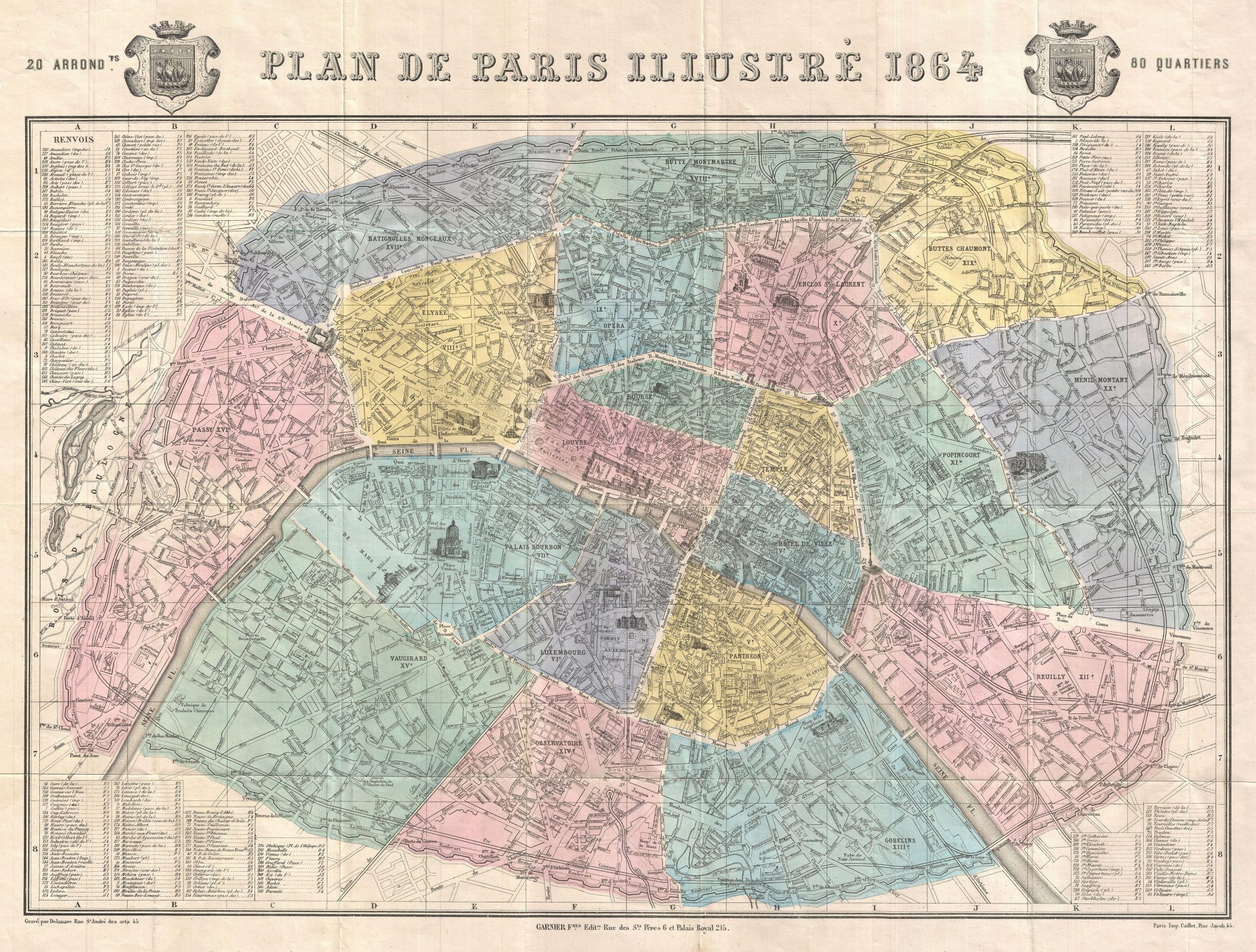
| source | http://www.oldmapsofparis.com/wp-content/uploads/2017/11/paris1864.jpg |
| start_date | 1180 |
Nodes
11 nodes
- 2119544778 (part of way Boulevard de Sebastopol [1864 – ] (198577805))
- 2119544898 (part of way [2020 – ] (198577806))
- 2119544998 (part of way Rue Nichloas Flamel [1421 – ] (200236836))
- 2119544899 (part of way Route de Douai à Lille [1422 – ] (200458887))
- 2119545282 (part of way [1180 – ] (200238496))
- 2119544779
- 2119544780 (part of way Rue du Renard [1868 – ] (198690791))
- 2119544781 (part of way Rue du Temple [1422 – ] (198690799))
- 2119544804 (part of ways Rue des Archives [1422 – ] (200238494) and Rue des Archives [1422 – ] (200236807))
-
2119544782 -
2119544783
Welcome to OpenHistoricalMap!
OpenHistoricalMap is an interactive map of the world throughout history, created by people like you and dedicated to the public domain.
OpenHistoricalMap is a charter project of OpenStreetMap U.S., a 501(c)(3) nonprofit organization affiliated with the OpenStreetMap Foundation. Technical development is supported by GreenInfo Network and Development Seed.
| https://www.openhistoricalmap.org/copyright | https://www.openhistoricalmap.org |
| OpenHistoricalMap is dedicated to the public domain except where otherwise noted. | |