Loading...
Way: 200711152
Version #3
removing quality tags
Tags
| ! | please do not delete |
|---|---|
| source:geometry | Zicht op de Bruul vanaf de Grote Markt., Stadsarchief Mechelen 1413 (Beeldnummer: SME001001025) https://www.regionalebeeldbank.be/beeldbank/1100744 |
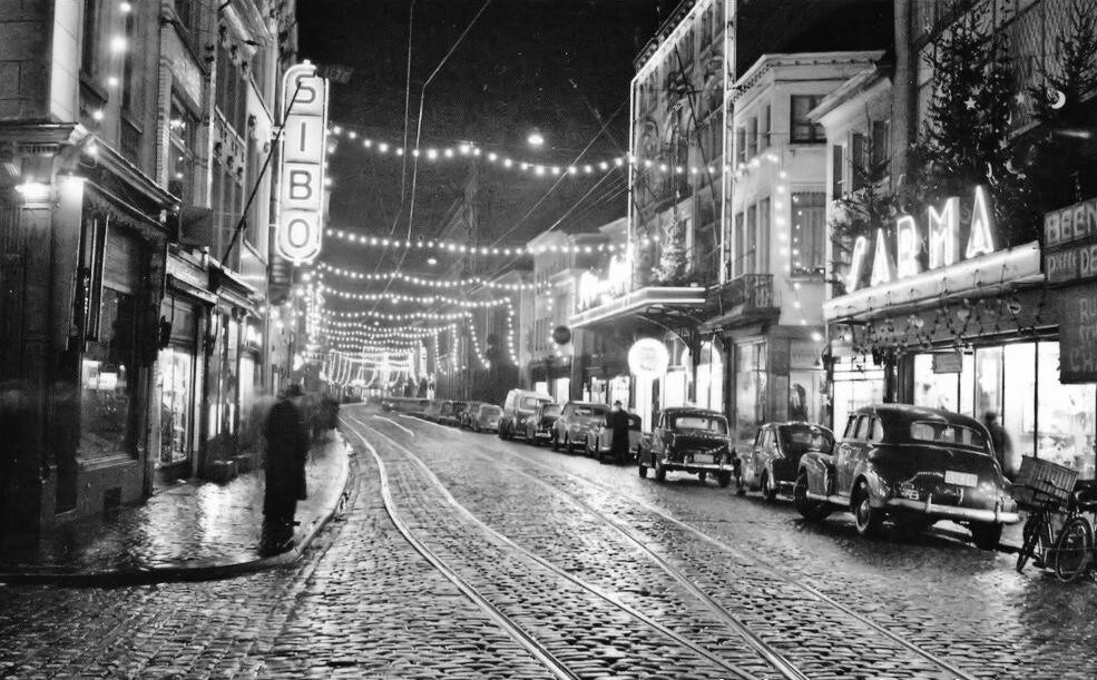
| source:geometry2 | Den Bruul in deze kerstperiode in de jaren vijftig., Luc Maes https://i.goopics.net/df7fsi.jpg |
| source_type | railway |
| type | source |
Nodes
6 nodes
- 2126897267 (part of ways 200711154 and 200711153)
- 2126897291
- 2126897290
- 2126897289
- 2126897288
- 2126897287 (part of ways 200699824, 200711148, and 200711151)
Welcome to OpenHistoricalMap!
OpenHistoricalMap is an interactive map of the world throughout history, created by people like you and dedicated to the public domain.
OpenHistoricalMap is a charter project of OpenStreetMap U.S., a 501(c)(3) nonprofit organization affiliated with the OpenStreetMap Foundation. Technical development is supported by GreenInfo Network and Development Seed.
| https://www.openhistoricalmap.org/copyright | https://www.openhistoricalmap.org |
| OpenHistoricalMap is dedicated to the public domain except where otherwise noted. | |