Loading...
Way: 200724323
Version #4
removing quality tags
Tags
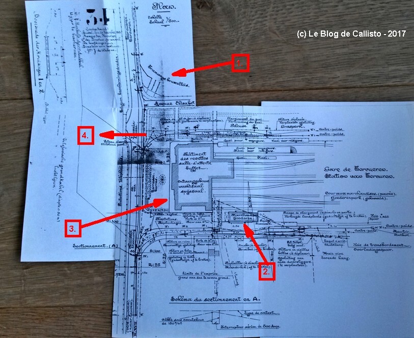
| source:geometry | (no title, map of Tervuren station), collection Le Blog de Callisto https://leblogdecallisto.blogspot.com/2017/06/tervuren-station.html, https://i.goopics.net/ntrpos.jpg |
|---|---|
| source:geometry2 | Digitaal Hoogtemodel Vlaanderen II, multidirectionale hillshade 0,25 m |
| source_type | landuse |
| type | source |
Nodes
8 nodes
- 2127191426 (part of ways 200723774 and 200724322)
- 2127188625
- 2127188632
- 2127188624
- 2127188631
- 2127188623
- 2127188621
- 2127192817 (part of ways 200724527 and 200725491)
Welcome to OpenHistoricalMap!
OpenHistoricalMap is an interactive map of the world throughout history, created by people like you and dedicated to the public domain.
OpenHistoricalMap is a charter project of OpenStreetMap U.S., a 501(c)(3) nonprofit organization affiliated with the OpenStreetMap Foundation. Technical development is supported by GreenInfo Network and Development Seed.
| https://www.openhistoricalmap.org/copyright | https://www.openhistoricalmap.org |
| OpenHistoricalMap is dedicated to the public domain except where otherwise noted. | |