Loading...
Way: Keizersgrachtkerk [1888 – ] (200788159)
Version #1
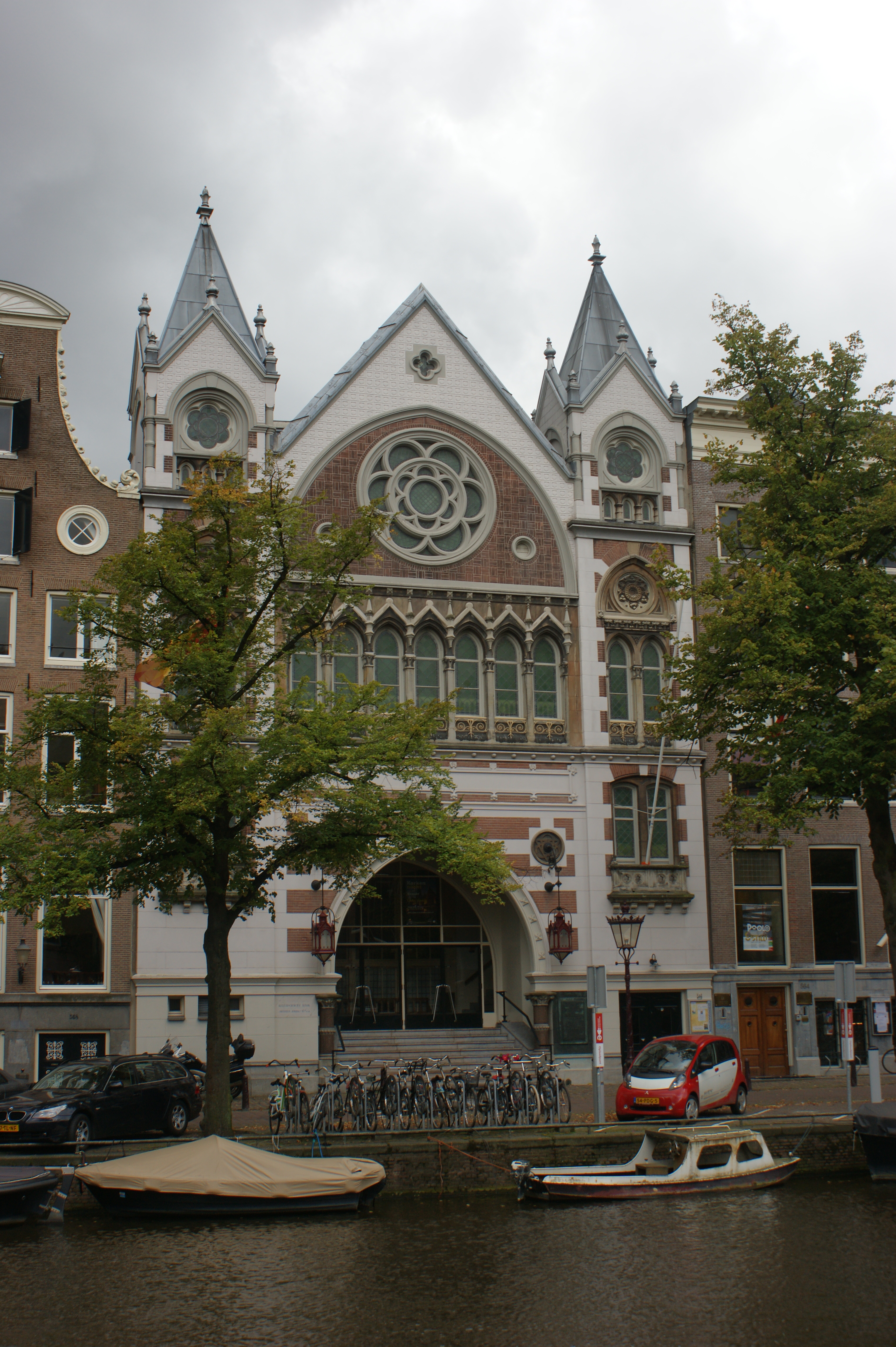
Keizersgrachtkerk, Amsterdam
- Edited by niels20020
- Changeset #154603
Tags
| amenity | place_of_worship |
|---|---|
| building | church |
| denomination | protestant |
| image:1 | https://upload.wikimedia.org/wikipedia/commons/7/7d/Gebroeders_Douwes%2C_Afb_010005000398.jpg |
| image:1:date | 1888 |
| image:1:license | public domain |
| image:2 | https://upload.wikimedia.org/wikipedia/commons/c/c3/Exterieur_-_Amsterdam_-_20013869_-_RCE.jpg |
| image:2:author | Gerard Dukker |
| image:2:date | 1963-08 |
| image:2:license | CC-BY-SA-4.0 |
| image:3 | https://upload.wikimedia.org/wikipedia/commons/7/7f/Amsterdam_-_Keizersgracht_566.JPG |
| image:3:author | Rudolphous |
| image:3:date | 2011-09-07 |
| image:3:license | CC-BY-SA-3.0,2.5,2.0,1.0 |
| name | Keizersgrachtkerk |
| religion | christian |
| start_date | 1888 |
| start_date:source | https://bagviewer.kadaster.nl/lvbag/bag-viewer/?objectId=0363200000162524 |
| wikidata | Q1972543 |
| wikipedia:nl | Keizersgrachtkerk |
Nodes
Welcome to OpenHistoricalMap!
OpenHistoricalMap is an interactive map of the world throughout history, created by people like you and dedicated to the public domain.
OpenHistoricalMap is a charter project of OpenStreetMap U.S., a 501(c)(3) nonprofit organization affiliated with the OpenStreetMap Foundation. Technical development is supported by GreenInfo Network and Development Seed.
| https://www.openhistoricalmap.org/copyright | https://www.openhistoricalmap.org |
| OpenHistoricalMap is dedicated to the public domain except where otherwise noted. | |