Loading...
Way: 200792633
Version #2
Mapped British India in higher detail
- Edited by CharliePlett
- Changeset #155988
Tags
| border | yes |
|---|---|
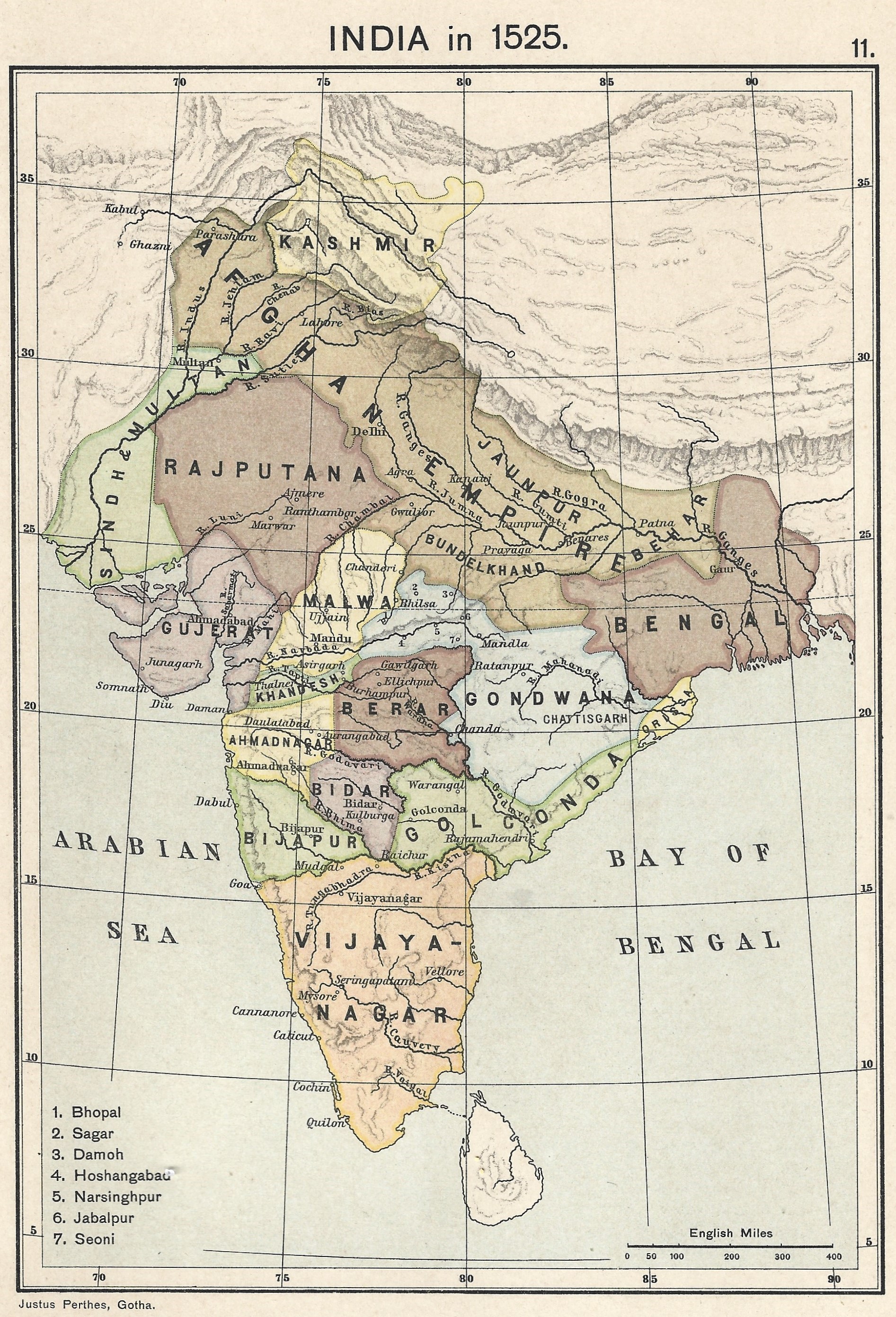
| source | https://upload.wikimedia.org/wikipedia/commons/0/06/Joppen_map-India_in_1525_published_1907_by_Longmans.jpg |
| source:name | India in 1525, Joppe |
| source:tiles | https://mapwarper.net/maps/tile/88795/{z}/{x}/{y}.png |
Nodes
71 nodes
- 2093108292 (part of ways 198643928, 200812289, 198642243, and 198643927)
- 2128823049
- 2128823048
- 2128823047
- 2128823046
- 2128823045
- 2128823044
- 2128823043
- 2128823042
- 2128823041
- 2128823040
- 2128823039
- 2128823038
- 2128823037
- 2128823036
- 2128823035
- 2128823034
- 2128823033
- 2128823032
- 2128823031
- 2128823030
- 2128823029
- 2128823028
- 2128823027
- 2128823026
- 2128823025
- 2128823024
- 2128823023
- 2128823022
- 2128823021
- 2128823020
- 2128823019
- 2128823018
- 2128823017
- 2128823016
- 2128823015
- 2128823014
- 2128823013
- 2128823012
- 2128823011
- 2128823010
- 2128823009
- 2128823008
- 2128823007
- 2128823006
- 2128823005
- 2128823004
- 2128823003
- 2128823002
- 2128823001
- 2128823000
- 2128822999
- 2128822998
- 2128822997
- 2128822996
- 2128822995
- 2128822994
- 2128822993
- 2128822992
- 2128822991
- 2128822990
- 2128822989
- 2128822988
- 2128822987
- 2128822986
- 2128822985
- 2128822984
- 2128822983
- 2128822982
- 2128822981
- 2128823096 (part of ways 200792632 and 200812297)
Welcome to OpenHistoricalMap!
OpenHistoricalMap is an interactive map of the world throughout history, created by people like you and dedicated to the public domain.
OpenHistoricalMap is a charter project of OpenStreetMap U.S., a 501(c)(3) nonprofit organization affiliated with the OpenStreetMap Foundation. Technical development is supported by GreenInfo Network and Development Seed.
| https://www.openhistoricalmap.org/copyright | https://www.openhistoricalmap.org |
| OpenHistoricalMap is dedicated to the public domain except where otherwise noted. | |