Loading...
Way: Falcon Street [1893 – ] (200812604)
Version #2
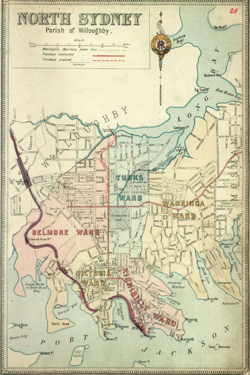
North Sydney 1894
- Edited by ausmeerkat
- Changeset #159391
Tags
| highway | secondary |
|---|---|
| name | Falcon Street |
| source:url | https://dictionaryofsydney.org/sites/default/files/media/38f6bc48eb61917985d436ad3aff9670a4ad29eb.jpg |
| start_date | 1893 |
Nodes
4 nodes
- 2129032404 (part of way Merlin Street [1893 – ] (200812603))
- 2129032405 (part of way Miller Street [1890 – ] (200858155))
- 2129873349 (part of way West Street [1894 – ] (200858157))
- 2129032406 (part of way Pacific Highway [1789 – ] (198652758))
Welcome to OpenHistoricalMap!
OpenHistoricalMap is an interactive map of the world throughout history, created by people like you and dedicated to the public domain.
OpenHistoricalMap is a charter project of OpenStreetMap U.S., a 501(c)(3) nonprofit organization affiliated with the OpenStreetMap Foundation. Technical development is supported by GreenInfo Network and Development Seed.
| https://www.openhistoricalmap.org/copyright | https://www.openhistoricalmap.org |
| OpenHistoricalMap is dedicated to the public domain except where otherwise noted. | |