Loading...
Way: Carretera de Luis Lazo [1958 – ] (200892433)
Version #1
carreteras por la fe y guane
Tags
| highway | primary |
|---|---|
| lanes | 2 |
| name | Carretera de Luis Lazo |
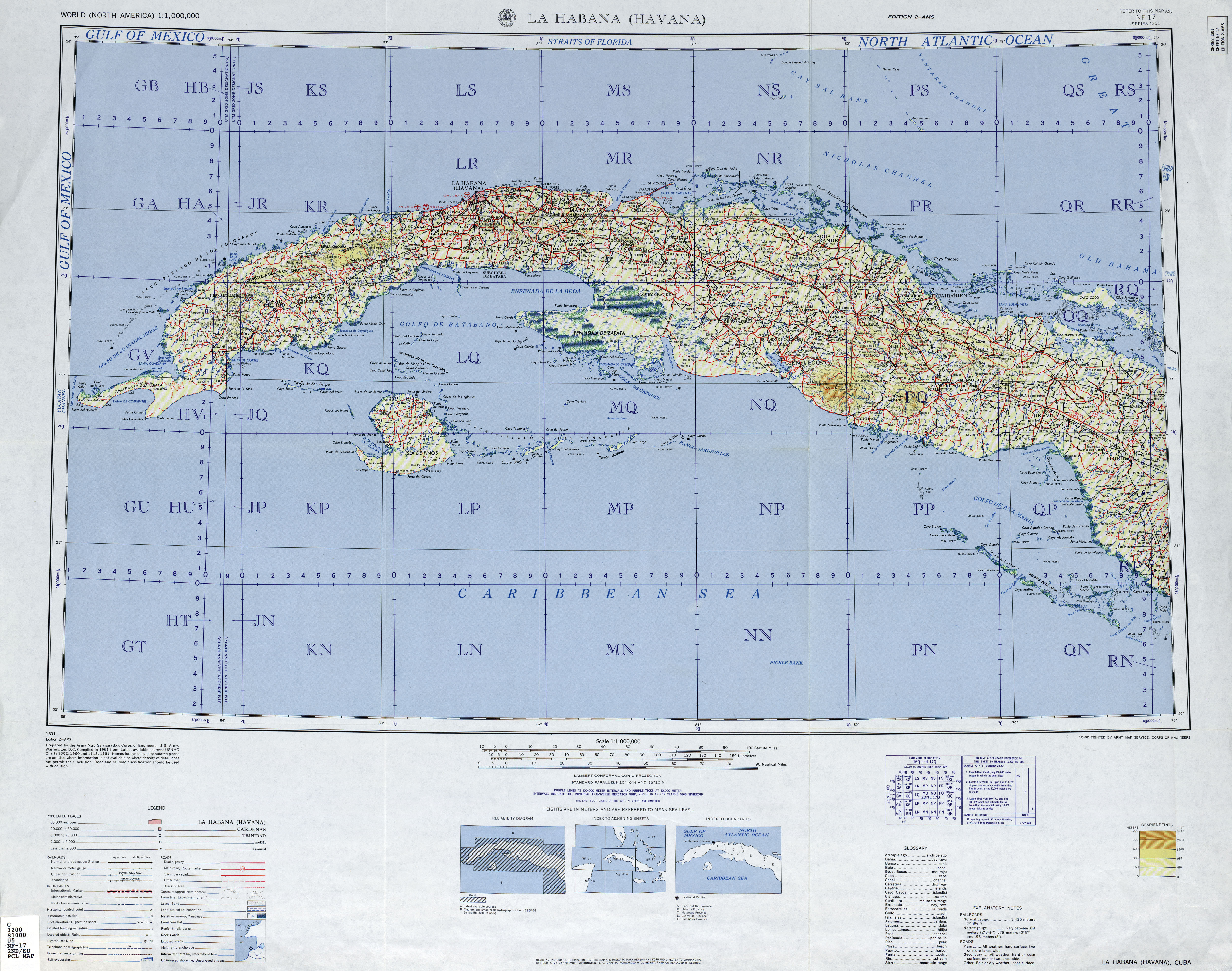
| source:url | https://maps.lib.utexas.edu/maps/imw/txu-oclc-6654394-nf-17-2nd-ed.jpg |
| start_date | 1958 |
Nodes
Welcome to OpenHistoricalMap!
OpenHistoricalMap is an interactive map of the world throughout history, created by people like you and dedicated to the public domain.
OpenHistoricalMap is a charter project of OpenStreetMap U.S., a 501(c)(3) nonprofit organization affiliated with the OpenStreetMap Foundation. Technical development is supported by GreenInfo Network and Development Seed.
| https://www.openhistoricalmap.org/copyright | https://www.openhistoricalmap.org |
| OpenHistoricalMap is dedicated to the public domain except where otherwise noted. | |