Loading...
Way: Stara pošta [1933 – ] (200944648)
Version #2
Kranj
- Edited by Janez Pavel Žebovec
- Changeset #168528
Tags
| addr:city | Kranj |
|---|---|
| addr:housenumber | 2 |
| addr:postcode | 4000 |
| addr:street | Koroška cesta |
| building | yes |
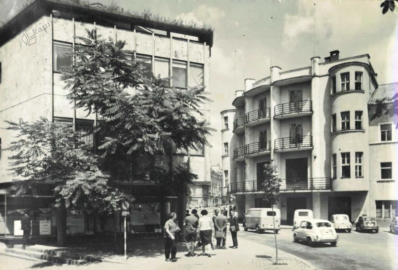
| image | https://www.kamra.si/wp-content/uploads/2021/01/5208_R_1486a.jpg |
| name | Stara pošta |
| name:source | https://www.kamra.si/mm-elementi/kranj-maistrov-trg/ |
| source:name | GURS |
| start_date | 1933 |
| start_date:source | https://ipi.eprostor.gov.si/jv/ |
Nodes
24 nodes
- 2131741710
- 2131741711
- 2131741712
- 2131741713
- 2131741714 (part of way [1770 – 1972] (200959426))
- 2131741715
- 2131741716
- 2131741717
- 2131741718
- 2131741719
- 2131741720
- 2131741721
- 2131741722
- 2131741723
- 2131741724
- 2131741725
- 2131741726
- 2131741727
- 2131741728
- 2131741729
- 2131741730
- 2131741731
- 2131741732 (part of ways [1770 – 1972] (200959426) and [1770 – 1972] (200959426))
- 2131741710
Welcome to OpenHistoricalMap!
OpenHistoricalMap is an interactive map of the world throughout history, created by people like you and dedicated to the public domain.
OpenHistoricalMap is a charter project of OpenStreetMap U.S., a 501(c)(3) nonprofit organization affiliated with the OpenStreetMap Foundation. Technical development is supported by GreenInfo Network and Development Seed.
| https://www.openhistoricalmap.org/copyright | https://www.openhistoricalmap.org |
| OpenHistoricalMap is dedicated to the public domain except where otherwise noted. | |