Loading...
Way: Delavski dom [1960 – ] (200954643)
Version #2
Kranj - nove slike
- Edited by Janez Pavel Žebovec
- Changeset #168687
Tags
| building | yes |
|---|---|
| image:1 | https://www.kamra.si/wp-content/uploads/2021/01/Delavski_dom_20191021_142332-1000x690.jpg |
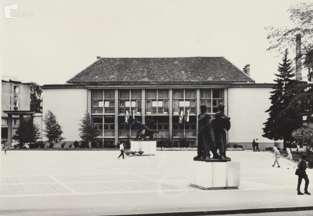
| image:1:caption | Delavski dom v 60. letih |
| image:1:date | 196X |
| image:1:source | https://www.kamra.si/mm-elementi/kamniti-kip-marije-z-otrokom-30/ |
| image:2 | https://www.kamra.si/wp-content/uploads/2021/01/Storzic_20191021_142815-1000x703.jpg |
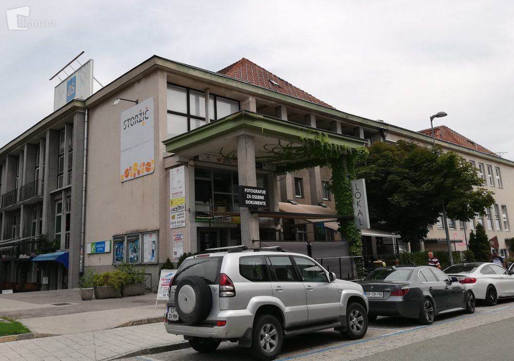
| image:2:date | 2019 |
| image:2:source | https://www.kamra.si/mm-elementi/kamniti-kip-marije-z-otrokom-31/ |
| name | Delavski dom |
| start_date | 1960-05-01 |
Nodes
15 nodes
- 2131784427
- 2131784428
- 2131784429
- 2131784430
- 2131784431
- 2131784432 (part of way Narodni dom [1924 – 1960] (200954642))
- 2131784426 (part of way Narodni dom [1924 – 1960] (200954642))
- 2131784425 (part of way Narodni dom [1924 – 1960] (200954642))
- 2131784433 (part of way Narodni dom [1924 – 1960] (200954642))
- 2131784434
- 2131784435
- 2131784436
- 2131784437
- 2131784438
- 2131784427
Welcome to OpenHistoricalMap!
OpenHistoricalMap is an interactive map of the world throughout history, created by people like you and dedicated to the public domain.
OpenHistoricalMap is a charter project of OpenStreetMap U.S., a 501(c)(3) nonprofit organization affiliated with the OpenStreetMap Foundation. Technical development is supported by GreenInfo Network and Development Seed.
| https://www.openhistoricalmap.org/copyright | https://www.openhistoricalmap.org |
| OpenHistoricalMap is dedicated to the public domain except where otherwise noted. | |