Loading...
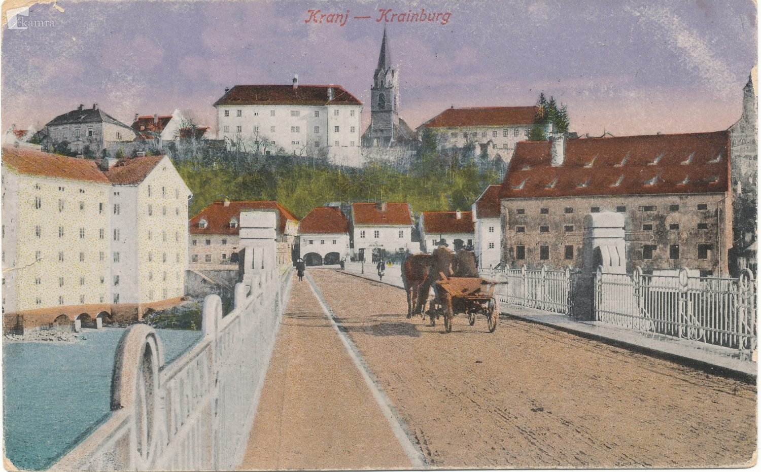
Way: Savski most [1850 – ] (200959424)
Version #2
Kranj
- Edited by Janez Pavel Žebovec
- Changeset #170029
Tags
| image:1 | https://www.kamra.si/wp-content/uploads/2021/01/Foto_19_20180720_134927-1500x931.jpg |
|---|---|
| image:2 | https://i0.wp.com/homocumolat.com/wp-content/uploads/2023/06/10622899_550951288367841_4508442090166688701_n.png?w=960&ssl=1 |
| image:2:date | 19XX |
| image:2:source:url | https://homocumolat.com/2023/07/05/foto-dokument-kranj-nekoc-1850-1968/ |
| image:3 | https://i0.wp.com/homocumolat.com/wp-content/uploads/2023/06/Kranjski-most.png?w=938&ssl=1 |
| image:3:date | 18XX |
| image:3:source:url | https://homocumolat.com/2023/07/05/foto-dokument-kranj-nekoc-1850-1968/ |
| layer | 1 |
| man_made | bridge |
| name | Savski most |
| source:url | https://mapwarper.net/layers/2204 |
| start_date | 1850 |
| start_date:edtf | 18XX |
Nodes
Welcome to OpenHistoricalMap!
OpenHistoricalMap is an interactive map of the world throughout history, created by people like you and dedicated to the public domain.
OpenHistoricalMap is a charter project of OpenStreetMap U.S., a 501(c)(3) nonprofit organization affiliated with the OpenStreetMap Foundation. Technical development is supported by GreenInfo Network and Development Seed.
| https://www.openhistoricalmap.org/copyright | https://www.openhistoricalmap.org |
| OpenHistoricalMap is dedicated to the public domain except where otherwise noted. | |