Loading...
Way: B 30 [1967 – ] (201052815)
Version #1
B 467 Lindau - Ravensburg, B 30 Biberach - Ulm
Tags
| highway | trunk_link |
|---|---|
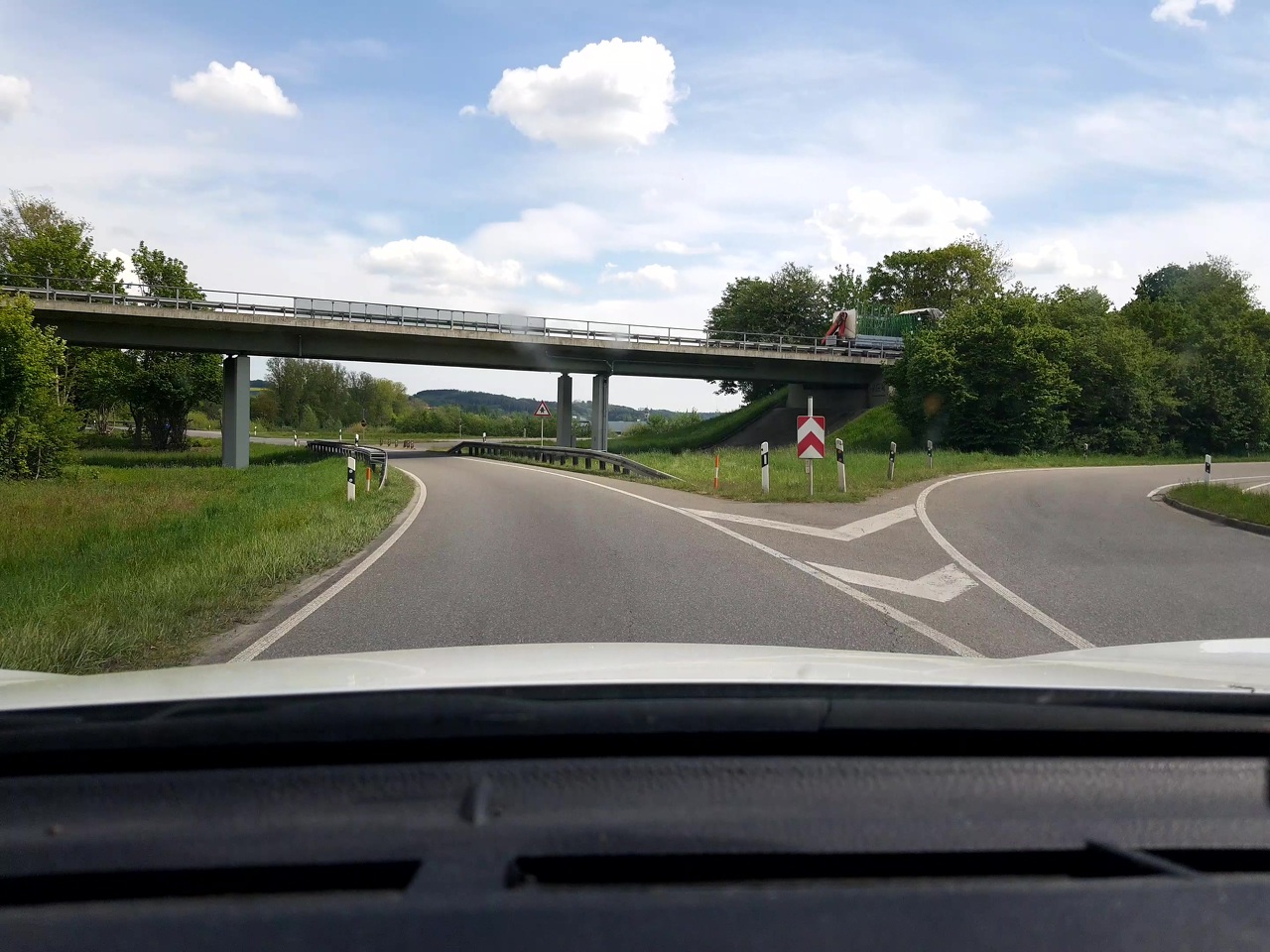
| image | https://storage13.openstreetcam.org/files/photo/2020/5/10/lth/2217242_4_49ed7_4.jpg |
| license | ODbL |
| motorroad | yes |
| oneway | yes |
| ref | B 30 |
| source | OSM Contributors |
| start_date | 1967 |
| surface | asphalt |
Nodes
15 nodes
- 2134999341 (part of ways B 312 [1967 – ] (201052822), B 312 [1967 – ] (201052825), and B 312 [1967 – ] (201052824))
- 2134999317
- 2134999316
- 2134999315
- 2134999314
- 2134999313
- 2134999312
- 2134999311
- 2134999310
- 2134999309
- 2134999308
- 2134999307
- 2134999306
- 2134999305
- 2134999318 (part of ways B 30;B 465 [1967 – ] (201052814) and B 30;B 465 [1967 – ] (201052816))
Welcome to OpenHistoricalMap!
OpenHistoricalMap is an interactive map of the world throughout history, created by people like you and dedicated to the public domain.
OpenHistoricalMap is a charter project of OpenStreetMap U.S., a 501(c)(3) nonprofit organization affiliated with the OpenStreetMap Foundation. Technical development is supported by GreenInfo Network and Development Seed.
| https://www.openhistoricalmap.org/copyright | https://www.openhistoricalmap.org |
| OpenHistoricalMap is dedicated to the public domain except where otherwise noted. | |