Loading...
Way: [1943 – ] (201071744)
Version #1
Added roads in Libya
Tags
| highway | tertiary |
|---|---|
| start_date | 1943 |
| start_date:edtf | ..1943 |
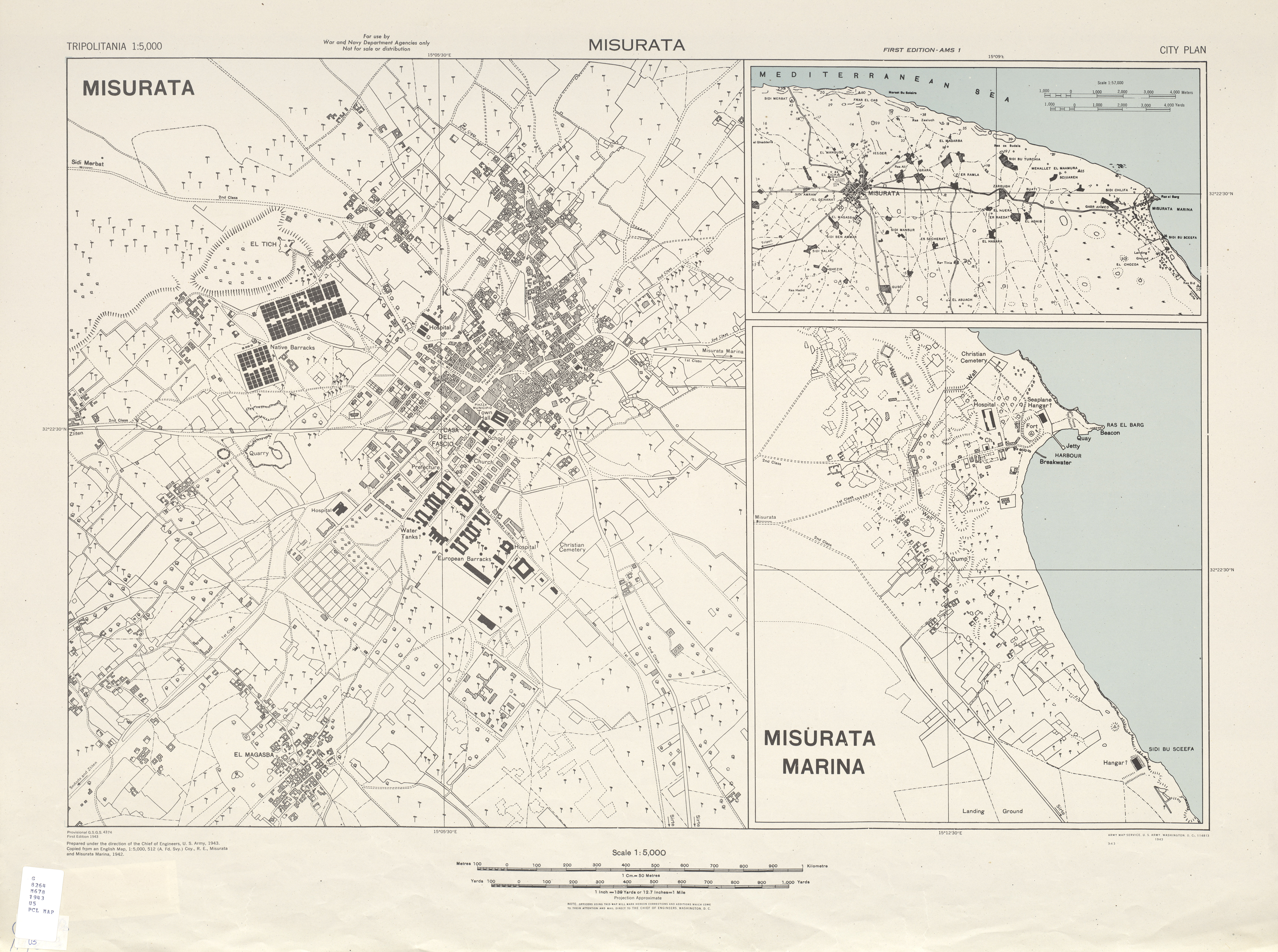
| start_date:source | https://maps.lib.utexas.edu/maps/ams/tripolitania_city_plans/txu-oclc-6568828.jpg |
Nodes
8 nodes
- 2135274323 (part of way Via Roma [1943 – ] (201071743))
- 2135274296 (part of way [1943 – ] (201071736))
- 2135274318 (part of way [1943 – ] (201071734))
- 2135274320
- 2135274321
- 2135274322
- 2135274324 (part of way Via Generale Mezzetti [1943 – ] (201071745))
- 2135274323 (part of way Via Roma [1943 – ] (201071743))
Welcome to OpenHistoricalMap!
OpenHistoricalMap is an interactive map of the world throughout history, created by people like you and dedicated to the public domain.
OpenHistoricalMap is a charter project of OpenStreetMap U.S., a 501(c)(3) nonprofit organization affiliated with the OpenStreetMap Foundation. Technical development is supported by GreenInfo Network and Development Seed.
| https://www.openhistoricalmap.org/copyright | https://www.openhistoricalmap.org |
| OpenHistoricalMap is dedicated to the public domain except where otherwise noted. | |