Loading...
Way: East 91st Street South [1943 – ] (201081445)
Version #1
Tulsa County Plat Map
- Edited by okiewxchaser
- Changeset #177174
Tags
| highway | secondary |
|---|---|
| name | East 91st Street South |
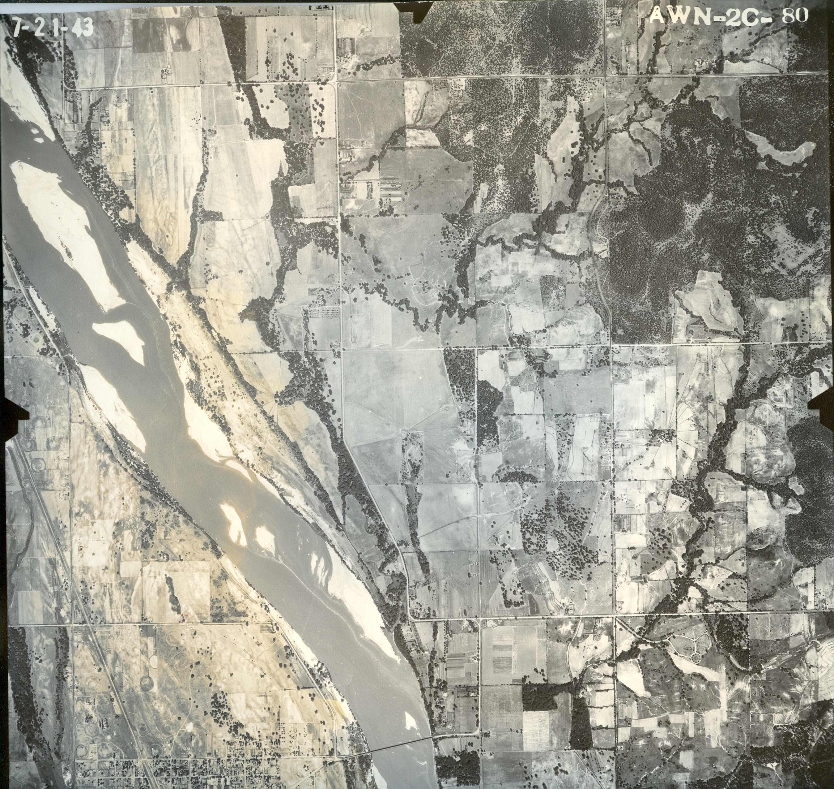
| source:name | Oklahoma Corporation Commission Aerial Photo |
| source:url | https://www.oklahoma.gov/content/dam/ok/en/occ/documents/og/ohadp/tulsa/sns_tulsa_1943/awn2c080.jpg |
| start_date | 1943 |
Nodes
3 nodes
- 2135377637 (part of way Lewis Avenue [1943 – 1998] (201081443))
- 2135377646 (part of way Lewis Avenue [1999 – ] (201081444))
- 2135377647 (part of ways Delaware Avenue [1916 – ] (201081446) and East 91st Street South [1916 – ] (201081459))
Welcome to OpenHistoricalMap!
OpenHistoricalMap is an interactive map of the world throughout history, created by people like you and dedicated to the public domain.
OpenHistoricalMap is a charter project of OpenStreetMap U.S., a 501(c)(3) nonprofit organization affiliated with the OpenStreetMap Foundation. Technical development is supported by GreenInfo Network and Development Seed.
| https://www.openhistoricalmap.org/copyright | https://www.openhistoricalmap.org |
| OpenHistoricalMap is dedicated to the public domain except where otherwise noted. | |