Loading...
Way: Riverside Parkway [1946 – ] (201104516)
Version #1
Riverside Parkway
- Edited by okiewxchaser
- Changeset #178332
Tags
| highway | secondary |
|---|---|
| name | Riverside Parkway |
| source:name | Oklahoma Corp Comission Aerial Photo |
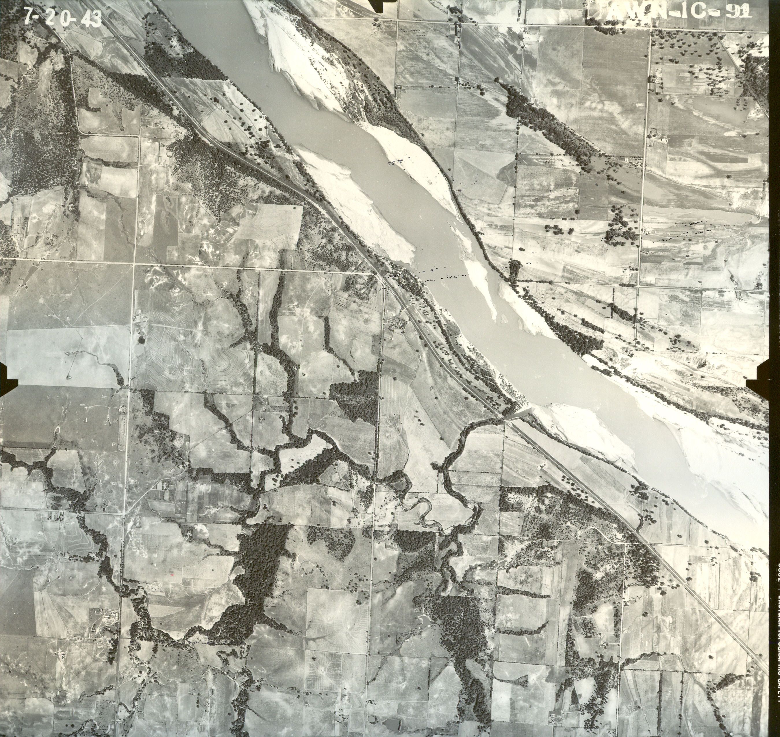
| source:url | https://www.oklahoma.gov/content/dam/ok/en/occ/documents/og/ohadp/tulsa/sns_tulsa_1943/awn1c091.jpg |
| start_date | 1946 |
Nodes
31 nodes
- 2135545832 (part of ways Delaware Avenue [1916 – 1999] (201104512), Riverside Parkway [2000 – ] (201104507), and Riverside Parkway [2000 – ] (201104506))
- 2135545860
- 2135545861
- 2135545862
- 2135545863
- 2135545864
- 2135545865
- 2135545866
- 2135545867
- 2135545868
- 2135545869
- 2135545870
- 2135545871
- 2135545872
- 2135545873
- 2135545874
- 2135545875
- 2135545876
- 2135545877
- 2135545878
- 2135545879
- 2135545880
- 2135545881
- 2135545882
- 2135545883
- 2135545884
- 2135545885
- 2135545886
- 2135545887
- 2135545888
- 2135545889
Welcome to OpenHistoricalMap!
OpenHistoricalMap is an interactive map of the world throughout history, created by people like you and dedicated to the public domain.
OpenHistoricalMap is a charter project of OpenStreetMap U.S., a 501(c)(3) nonprofit organization affiliated with the OpenStreetMap Foundation. Technical development is supported by GreenInfo Network and Development Seed.
| https://www.openhistoricalmap.org/copyright | https://www.openhistoricalmap.org |
| OpenHistoricalMap is dedicated to the public domain except where otherwise noted. | |