Loading...
Way: East Tiverton Way [1966 – ] (201127864)
Version #2
Added 1970's Lexington, KY streets.
- Edited by Ben Colclough
- Changeset #179627
Tags
| highway | residential |
|---|---|
| name | East Tiverton Way |
| start_date | 1966 |
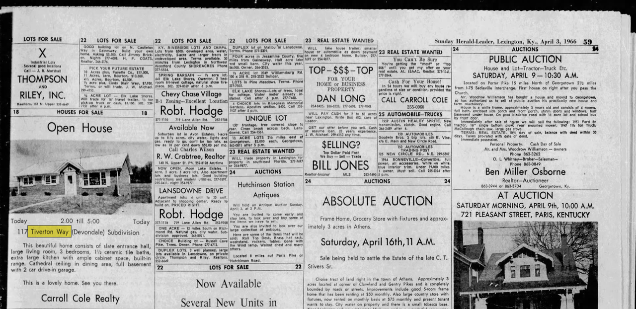
| start_date:source | https://i.postimg.cc/7L59d937/tiverton-way.png |
Nodes
13 nodes
- 2135273504 (part of ways Danville, Nicholasville & Lexington Turnpike [1834 – 1926] (201081429), Nicholasville Road [1926 – ] (201127553), and Nicholasville Interurban Line [1908 – 1934] (201127554))
- 2135926422
- 2135926427
- 2135926428
- 2135926429
- 2135926430
- 2135926434 (part of way Walhampton Drive [1966 – ] (201127866))
- 2135926431
- 2136033845 (part of way Harvard Drive [1971 – ] (201133380))
- 2135926432
- 2135926486 (part of way Habersham Drive [1966 – ] (201127871))
- 2135926503 (part of way Northampton Drive [1966 – ] (201127876))
- 2135926433 (part of way East Tiverton Way [1978 – ] (201133505))
Welcome to OpenHistoricalMap!
OpenHistoricalMap is an interactive map of the world throughout history, created by people like you and dedicated to the public domain.
OpenHistoricalMap is a charter project of OpenStreetMap U.S., a 501(c)(3) nonprofit organization affiliated with the OpenStreetMap Foundation. Technical development is supported by GreenInfo Network and Development Seed.
| https://www.openhistoricalmap.org/copyright | https://www.openhistoricalmap.org |
| OpenHistoricalMap is dedicated to the public domain except where otherwise noted. | |