Loading...
Way: [850 – 950] (201162926)
Version #2
goryeo
- Edited by hangukhistory
- Changeset #182215
Tags
| boundary | administrative |
|---|---|
| end_date | 950 |
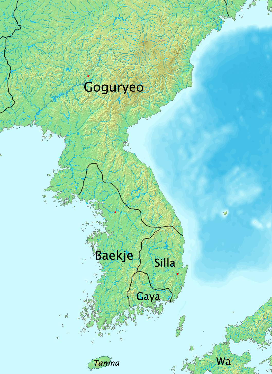
| source | https://upload.wikimedia.org/wikipedia/commons/c/cd/History_of_Korea-375.png |
| start_date | 850 |
Nodes
5 nodes
- 2090861592 (part of ways 201162930, [850 – 950] (201162929), and [850 – 950] (201165281))
- 2090861593
- 2090861594
- 2090861595
- 2136577725 (part of ways 201163557, 201160989, [850 – 950] (200879392), and [850 – 950] (201165269))
Welcome to OpenHistoricalMap!
OpenHistoricalMap is an interactive map of the world throughout history, created by people like you and dedicated to the public domain.
OpenHistoricalMap is a charter project of OpenStreetMap U.S., a 501(c)(3) nonprofit organization affiliated with the OpenStreetMap Foundation. Technical development is supported by GreenInfo Network and Development Seed.
| https://www.openhistoricalmap.org/copyright | https://www.openhistoricalmap.org |
| OpenHistoricalMap is dedicated to the public domain except where otherwise noted. | |