Loading...
Way: Stader Schneeweg [1569 – ] (201195647)
Version #1
streets of Stade
Tags
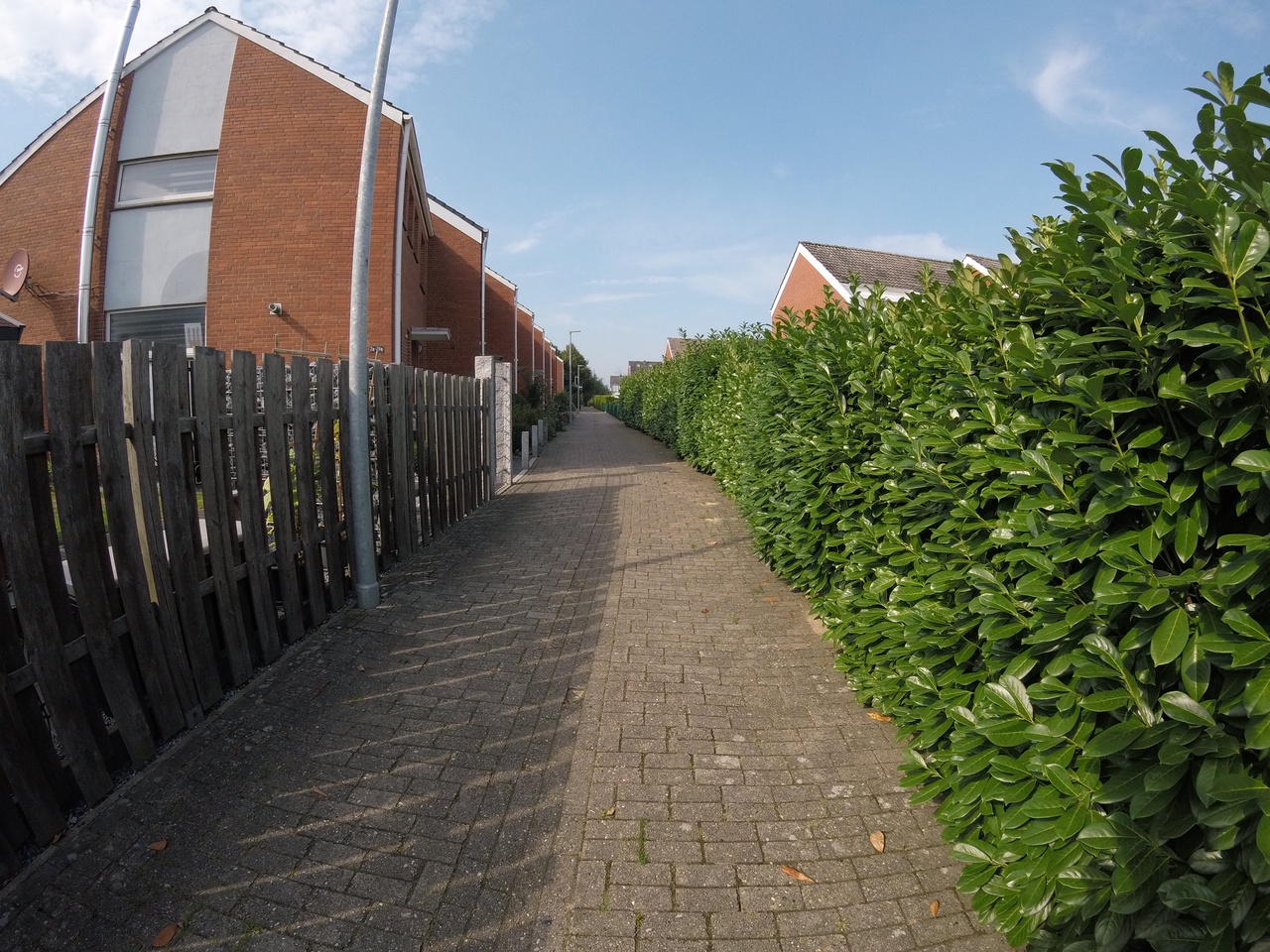
| highway | residential |
|---|---|
| image | https://storage13.openstreetcam.org/files/photo/2020/9/6/lth/2987718_6c439_5f54cb438b651.jpg |
| license | ODbL |
| lit | no |
| name | Stader Schneeweg |
| source | OSM Contributors |
| start_date | 1569 |
| surface | asphalt |
Nodes
8 nodes
Welcome to OpenHistoricalMap!
OpenHistoricalMap is an interactive map of the world throughout history, created by people like you and dedicated to the public domain.
OpenHistoricalMap is a charter project of OpenStreetMap U.S., a 501(c)(3) nonprofit organization affiliated with the OpenStreetMap Foundation. Technical development is supported by GreenInfo Network and Development Seed.
| https://www.openhistoricalmap.org/copyright | https://www.openhistoricalmap.org |
| OpenHistoricalMap is dedicated to the public domain except where otherwise noted. | |