Loading...
Way: Schölischer Straße [1925 – ] (201195782)
Version #1
streets of Stade
Tags
| highway | tertiary |
|---|---|
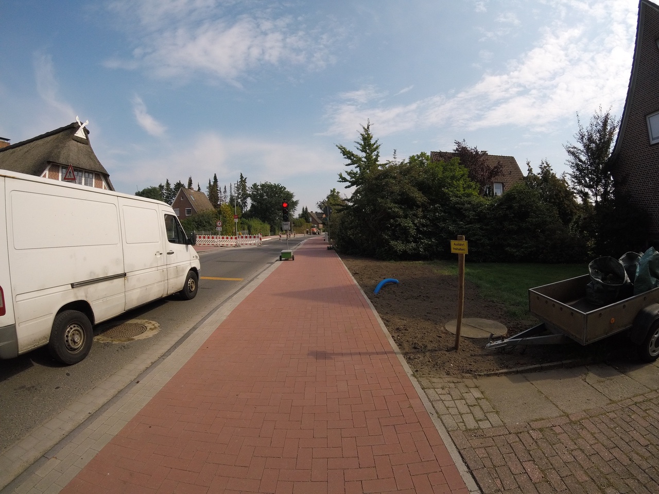
| image | https://storage13.openstreetcam.org/files/photo/2020/9/6/lth/2987706_5e526_5f54d1d24baf4.jpg |
| license | ODbL |
| lit | no |
| name | Schölischer Straße |
| ref | K 31 |
| source | OSM Contributors |
| start_date | 1925 |
| surface | asphalt |
Nodes
37 nodes
- Schölisch, Schölischer Straße 63 (2136946406) (part of way Schölischer Straße [1925 – ] (201195772))
- 2136946405
- 2136946404
- Schölisch, Schölischer Straße 63 (2136946403)
- 2136946402
- 2136946401
- 2136946400
- 2136946399
- 2136946398
- 2136946397
- 2136946396
- 2136946395
- 2136946394
- 2136946393
- 2136946392
- 2136946391
- 2136946390
- 2136946389
- 2136946388
- 2136946387
- 2136946386
- 2136946385
- 2136946384
- 2136946383
- 2136946382
- Schölisch, Zum Wiesenland (2136946381)
- 2136946380
- 2136946379
- 2136946378
- 2136946377
- 2136946376
- 2136946375
- 2136946374
- 2136946373
- 2136946372
- 2136946371
- 2136946370 (part of ways Schölischer Straße [1925 – ] (201195649) and Stader Schneeweg [1569 – ] (201195650))
Welcome to OpenHistoricalMap!
OpenHistoricalMap is an interactive map of the world throughout history, created by people like you and dedicated to the public domain.
OpenHistoricalMap is a charter project of OpenStreetMap U.S., a 501(c)(3) nonprofit organization affiliated with the OpenStreetMap Foundation. Technical development is supported by GreenInfo Network and Development Seed.
| https://www.openhistoricalmap.org/copyright | https://www.openhistoricalmap.org |
| OpenHistoricalMap is dedicated to the public domain except where otherwise noted. | |