Loading...
Relation: Königreich Dalmatien [1815 – 1918] (2690520)
Version #20
1 Holy Roman Empire relation updates; moving some Italian-peninsula and vicinity admin boundaries offshore
Tags
| admin_level | 4 |
|---|---|
| boundary | administrative |
| end_date | 1918-10-29 |
| end_event | State of Slovenes, Croats and Serbs secedes |
| fixme | confirm border definition of islands between Istria and Dalmatia |
| fixme:place | need to figure out what places these are... |
| name | Königreich Dalmatien |
| name:en | Kingdom of Dalmatia |
| place | state |
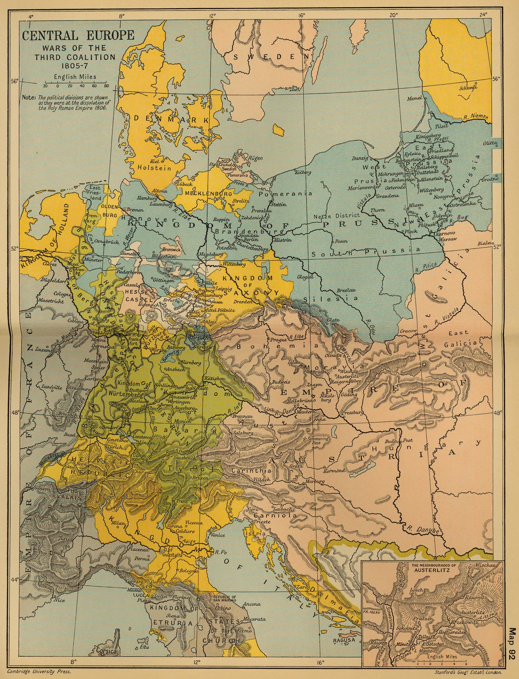
| source | https://maps.lib.utexas.edu/maps/historical/ward_1912/europe_central_1805.jpg |
| source:name | Central Europe: Wars of the Third Coalition 1805-7'; from 'Cambridge Modern History Atlas', 1912 |
| start_date | 1815-06-09 |
| type | boundary |
| wikidata | Q698248 |
| wikipedia | en:Kingdom of Dalmatia |
Members
41 members
- Relation Kreis Cattaro [1822 – 1868] (2829039) as subarea
- Relation Kreis Ragusa [1822 – 1868] (2829038) as subarea
- Node Dalmatien [1815 – 1918] (2104060595) as label
- Way Svetac 3NM offshore line for empires and large area relations (200910001) as outer
- Way 3NM offshore line for empires and large area relations (200916771) as outer
- Way 3.2NM offshore line for empires and large area relations (200916770) as outer
- Way cartographic bridge (200916765) as outer
- Way cartographic bridge (200916768) as outer
- Way cartographic bridge (200916766) as outer
- Way 3.2NM offshore line for empires and large area relations (200916767) as outer
- Way 200913445 as outer
- Way 3NM offshore line for empires and large area relations (200910386) as outer
- Way cartographic adjustment (200916777) as outer
- Way cartographic bridge (200916778) as outer
- Way cartographic adjustment (200916776) as outer
- Way 3NM offshore line for empires and large area relations (200915667) as outer
- Way 3NM offshore line for empires and large area relations (200916772) as outer
- Way cartographic adjustment (200916773) as outer
- Way cartographic bridge (200916775) as outer
- Way cartographic adjustment (200916774) as outer
- Way 3NM offshore line for empires and large area relations (200915668) as outer
- Way 3NM offshore line for empires and large area relations (200915666) as outer
Way 200916782 as outer- Way 3NM offshore line for empires and large area relations (200915848) as outer
- Way 199612925 as outer
- Way 199612931 as outer
- Way 198693441 as outer
- Way 198567161 as outer
- Way 199612932 as outer
- Way 198567163 as outer
- Way 200813485 as outer
- Way 198567373 as outer
- Way 198557013 as outer
- Way 200176629 as outer
- Way 198532410 as outer
Way 200915676 as outer- Way 198750298 as outer
- Way 199600482 as outer
- Way Vis 3NM offshore line for empires and large area relations (200910002) as outer
- Way Sušac 3NM offshore line for empires and large area relations (200910003) as outer
- Way Lastovo 3NM offshore line for empires and large area relations (200910005) as outer
Welcome to OpenHistoricalMap!
OpenHistoricalMap is an interactive map of the world throughout history, created by people like you and dedicated to the public domain.
OpenHistoricalMap is a charter project of OpenStreetMap U.S., a 501(c)(3) nonprofit organization affiliated with the OpenStreetMap Foundation. Technical development is supported by GreenInfo Network and Development Seed.
| https://www.openhistoricalmap.org/copyright | https://www.openhistoricalmap.org |
| OpenHistoricalMap is dedicated to the public domain except where otherwise noted. | |